Testbeitrag
Dies ist ein Testbeitrag
Read more
LUFTBILD UMWELT PLANUNG
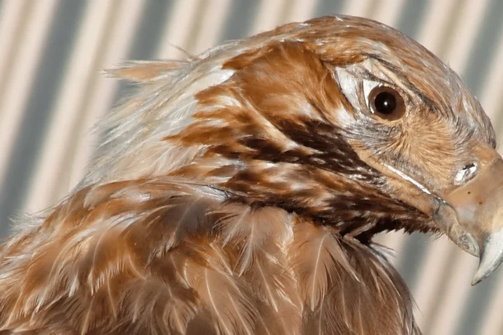
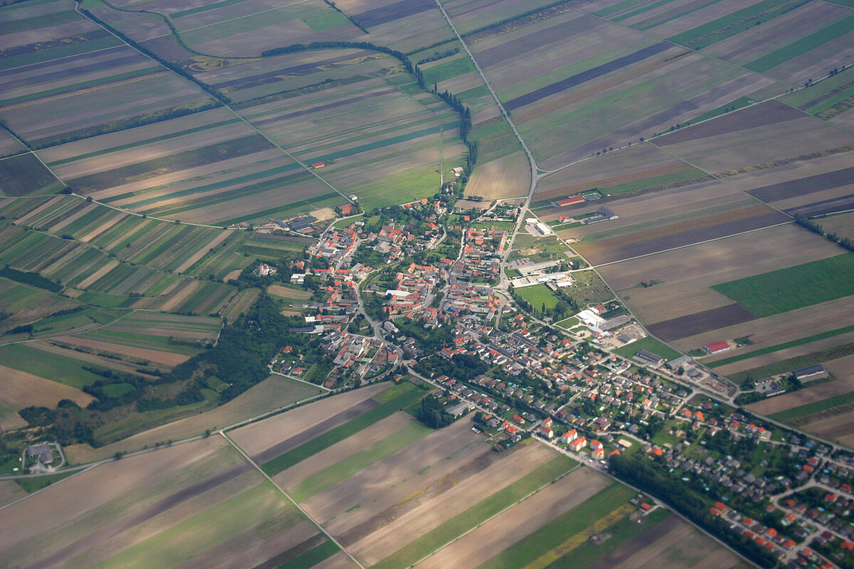
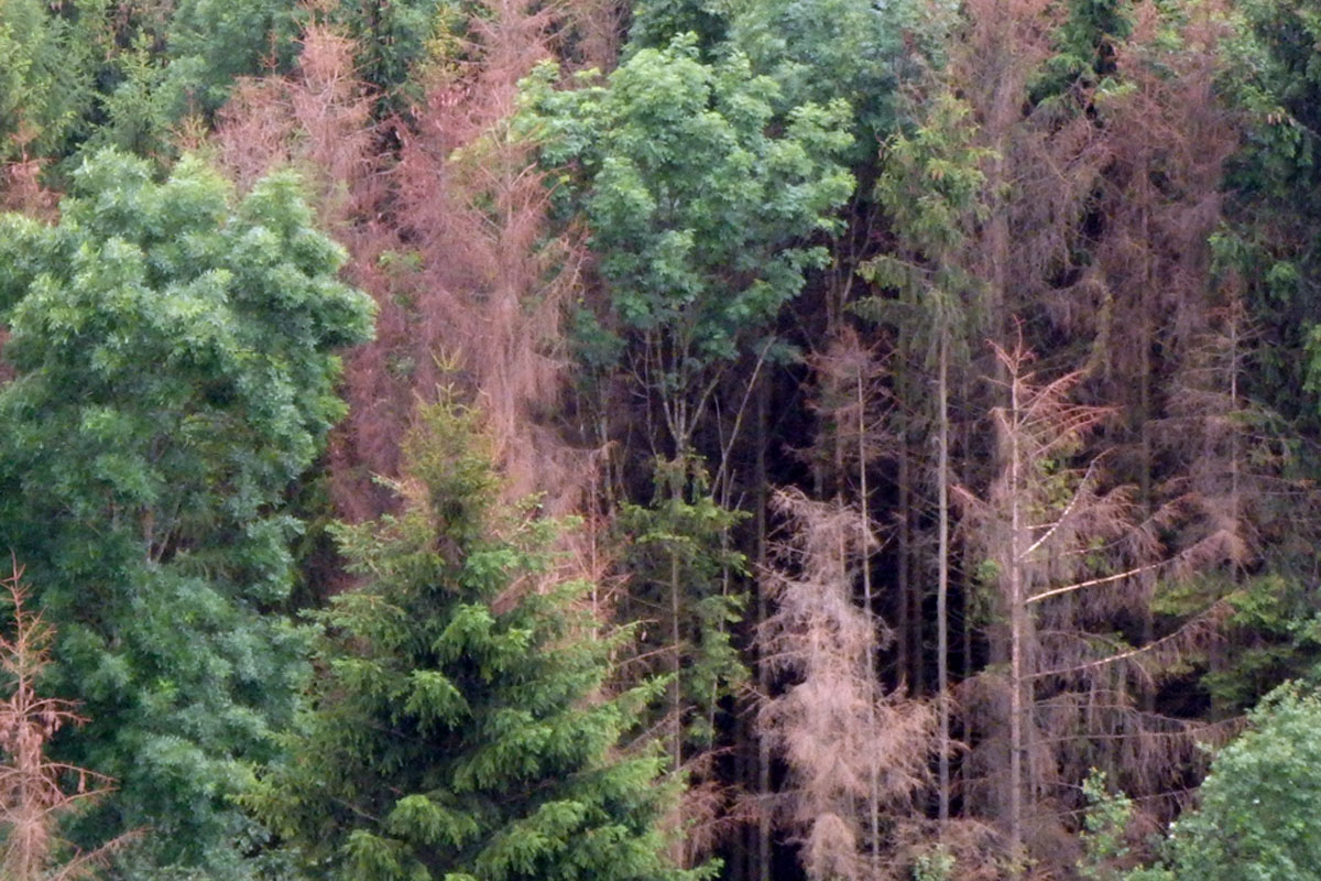
Capturing and analysing environmental information from aerial and satellite imagery – from Habitats Directive monitoring to forest condition mapping.
View service
Environmental and spatial planning, nature conservation, climate action and sustainability strategies.
View service
Building and operating spatial data infrastructures, processing geodata and performing spatial environmental analyses.
View serviceLUP verbindet Luftbildauswertung, Fernerkundung und Umweltplanung. Aus Befliegungen, Satellitendaten und Geländearbeit entstehen belastbare Grundlagen für Naturschutz, Landschaftsplanung und Monitoring.
Dieser Text ist ein Platzhalter und kann unter „LUP Design“ im WordPress-Backend angepasst werden.
More about LUP